2022-04-13 12:21
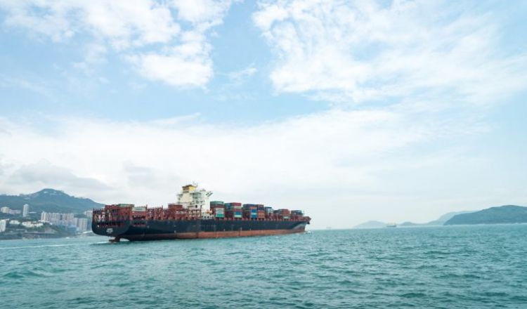
More than 90,000 commercial ships make up the world’s commercial fleet, their locations closely tracked and the resulting data available for free.
GIJN has compiled a comprehensive list of resources to track ships (including big yachts and fishing boats).
It’s possible to learn where ships came from and where they are going in near real time. Also, you can research ship owners, get information about the ships and see pictures of them. Tools also exist to follow the movements of the cargo containers they carry.
We continue to update this resource and welcome suggestions.
Tracking “Dark Ships” with New Satellite Technology , a 2021 article by Anusuya Datta, Executive Editor, Geospatial Media & Communications, describes how recent commercial innovations in synthetic aperture radar (SAR) sensors and new technologies like space-based radio frequency (RF) mapping have added new dimensions to maritime monitoring.
See a presentation by Columbia University journalism professor Giannina Segnini.at GIJC19 on tracking shipping containers, customs codes and bills of lading. Also read Learning Custom Languages to Track Shipments , Segnini’s presentation at IJAsia18.
Rae Baker, a US-based OSINT expert who tweets as @wondersmith_rae, has written: 6 Tips for Investigating Maritime Vessels: Maritime OSINT: Port Analysis, and OSINT on the Ocean: Maritime Intelligence Gathering Techniques.
Just for the wow factor, click to see this world map that reveals the magnitude of ocean shipping.
Read a description of how ships are tracked through the use of the automatic identification system (AIS). AIS signals from some 180,000 vessels are monitored daily via land-based stations and satellites.
While much information can be obtained for free, subscriptions are often required to acquire more sophisticated material, such as very current or historic information. The options range, as do the prices, but in very general terms, a subscription may run to a few hundred dollars a month. Some of the vendors are open to working with journalists, to provide images and more.

Global marine traffic map. Screenshot.
Ship-tracking data has been critical for reporting on collisions at sea, both on a spot news basis and in investigative reporting. For example, here’s a look-back by The New York Times at a 2017 crash between a US Navy ship and a commercial ship near Singapore. MarineTraffic supplied data for the story.
Investigative reporters have found many other uses for shipping data, for example: